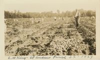
A color photograph of laborers harvesting potatoes and putting them into barrels in the background while E.W. King [?] observes. Photograph has a caption on the front that reads, '120 bshls [bushels] per acre. E.W. King - St Andrews Parish [Charleston] S.C. 1929.'
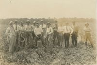
A black and white photograph of several men during a fertilizer inspection at Rocket Hall Plantation. The names of those individuals are on the back of the photograph.
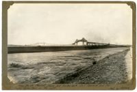
Unnumbered Image (5" x 7"): "From the Mt. Pleasant shore, but further back. East Approach and the Cooper River Span on the right. Photo by Melchers.";One 5" x 7" B/W photo
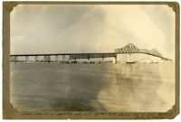
Unnumbered Image (5" x 7"): "Same view as on preceding page, but further back, showing part of East Approach. Photos by Melcher.";One 5" x 7" B/W photo
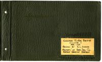
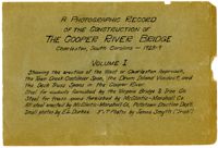
A Photographic Record of the Construction of the Cooper River Bridge; Charleston, South Carolina - 1928-29; Volume I; Showing the erection of the West or Charleston approach, the Town Creek Cantilever Span, the Drum Island Viaduct, and the Deck Truss Spans in the Cooper River. Steel for viaducts furnished by the Virginia Bridge & Iron Co. Steel for truss spans furnished by McClintic-Marshall Co. All steel erected by McClintic-Marshall Co., Pottstown Erection Dep't. Small photos by E.L. Durkee. 5" x 7" Photos by James Smyth ("Irish").;Title Page, 6.75" x 10.125"
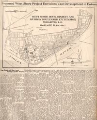
This reprint of a 1929 News and Courier (Charleston, S.C.) article depicts MacElwee's plan for the extension of Murray Boulevard north of the Ashley River bridge. The map and text give detailed descriptions of residential lot sizes in the reclaimed areas, areas for commercial development, parks, etc. and persuasive economic reasons to undertake the development. Though most of the land was eventually reclaimed, no grand boulevard extends north of the Ashley River bridge today and MacElwee's vision of building "one of the most famous water front driveways in the world" was never realized.
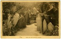
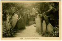
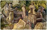
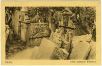
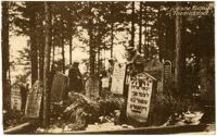
Black-and-white photographic postcard of a monument in the Old Jewish Cemetery in Prague. During the sanitization of Josefov in 1903, the Jewish community was forced to yield a part of the cemetery to the construction of a new road (today’s 17th November Street). Exhumed remains were buried in another part of the cemetery, on a Nefel mound in front of the Klausen Synagogue. This monument erected by the Chevra Kadisha describes and remembers these events.
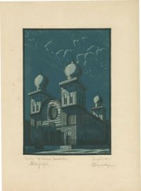
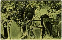
![[Old Jewish Cemetery, Prague]](https://iiif.library.cofc.edu/iiif/2/32993/full/200,/0/default.jpg)

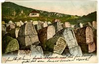
![[Old Jewish Cemetery, Prague]](https://iiif.library.cofc.edu/iiif/2/32988/full/200,/0/default.jpg)
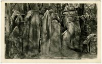
![[Jewish cemetery, Hürben, Krumbach]](https://iiif.library.cofc.edu/iiif/2/33007/full/200,/0/default.jpg)
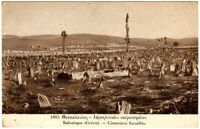
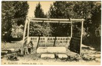
![[Jewish cemetery]](https://iiif.library.cofc.edu/iiif/2/33009/full/200,/0/default.jpg)