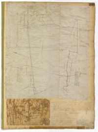
Page 235 of the City Engineer's Plat Book with four plats. Plat 1 features a proposed right-of-way through Chicora Park, and shows a state road, Clements Avenue, Pine Avenue, and a label reading "U. S. Navy Yard." Plat 2 shows land located near the intersection of Grove Street and Rutledge Avenue, with one plot labeled "Trustees of the Endowment Fund of the Charleston Library Society." Plat 3 shows lots, structures, and marshland located on and near the Ashley River, north of Congress Street. the fourth plat is a pencil-sketched map showing land located near the intersection of Rutledge Avenue and Grove Street.
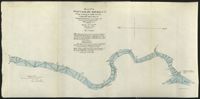
These five maps of the Waccamaw River in Horry County, S.C., show the river from Conway to Bull Creek. The surveys, dated November 1903, were performed under the direction of Captain G. P. Howell, Corps of Engineers U.S.A., and Reid Whitford, U.S. Assistant Engineer. The surveyor was William H. Johnstone.