Page 185 of the City Engineer's Plat Book with four plats. Plat 1 shows lots and structures located near [Map too blurry to read, check when in-office]. Plat 2 shows lots and structures located near the intersection of Spring Street and Ashley Street. Plat 3 shows lots located near the intersection of Mount Street and Rutledge Avenue. Plat 4 shows lots located near Rutledge Avenue, between Congress Street and Huger Street.
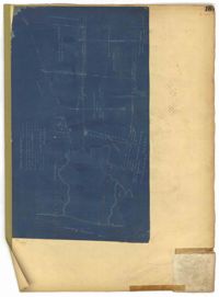
Page 181 of the City Engineer's Plat Book with one plat. The plat features a survey of Mount Pleasant Farm, focusing on "High land" and "Marsh." The plat also shows the city boundary, several structures, marsh leading to the Ashley River, Hester Street, Sans Souci Street, and Mount Pleasant Road.
Page 173 of the City Engineer's Plat Book with five plats. Plat 1 shows lots and structures located near the intersection of Meeting Street and Brigade Street. Plat 2 shows lots located between Meeting Street and Lee Street, and includes a lot labeled "German Cemetery." Plat 3 shows lots located between Cunnington Avenue and Wiliman Street, and between Meeting Street and Lee Street, and shows a lot labeled "4th Brigade." Plat 4 shows lots located near Brigade Street. Plat 5 features lots located in the Village of Hampstead, between Bay Street and Town Creek.
Page 174 of the City Engineer's Plat Book with two plats. Plat 1 shows lots and structures located between King Street and Meeting Street. Plat 2 features a lot located on Nassau Street, near where it intersects with Stewart Street.
Page 155 of the City Engineer's Plat Book with three plats. Plat 1 features a tract of land located between Calhoun Street and Bennett Street, and between Lynch Street and Rutledge Street. Plat 2 shows lots and structures located on Vanderhorst Street. Plat 3 shows lots and structures located on St. Philips Street.
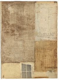
Page 150 of the City Engineer's Plat Book with five plats. Plat 1 shows lots located between President Street and the Ashley River, and between Spring Street and Mill Street. It also shows an "Ashley River Bridge" on Spring Street, and a lot labeled "Charleston and Savannah R.R." Plat 2 shows lots and structures located on the west side of Rutledge Avenue. Plat 3 features a lot located on the corner of St. Philips Street and Calhoun Street. Plat 4 shows lots located on the east side of Rutledge Avenue. Plat 5 shows lots and structures located on King Street, including labels reading "Upper Police Station" and "Cistern Underground."
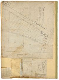
Page 153 of the City Engineer's Plat Book with three plats. Plat 1 shows lots located between Rutledge Street and Lynch Street, near where they intersect with Calhoun Street. Plat 2 shows lots located on and near the intersection of Rutledge Avenue and a private court. Plat 3 shows lots located between Smith Street and Ogier Street, near where they intersect and Vanderhorst Street.
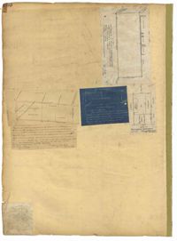
Page 152 of the City Engineer's Plat Book with three plats. Plat 1 shows lots and structures located on King Street. Plat 2 shows lots located on Luhn's Court, near where it intersects with Smith Street. Plat 3 shows lots and structures located on and near the intersection of Morris Street and King Street.
Page 116 of the City Engineer's Plat Book with three plats. Plat 1 shows lots and structures located near the intersection of Meeting Street and Ladson's Court. Plat 2 features a proposed extension of Ladson's Court. Plat 3 shows lots located south of Tradd Street. Plat 3 also shows Gibbes Street, Council Street, a line marking the low water, and a line marking the edge of the channel.