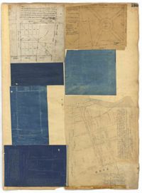
Page 135 of the City Engineer's Plat Book with seven plats. Plat 1 shows lots on a city block located between Bennett Street and Calhoun Street, and between Rutledge Street and Lynch Street. Plat 2 shows a lot labelled "Cannon's Mall," located on the intersection of Calhoun Street and Rutledge Street. Plat 3 shows lots located on Meeting Street. Plat 4 shows the same lot as Plat 2. Plat 5 shows a lot located on King Street. Plat 6 shows lots and structures located on King Street, including a graveyard, a Meeting House, and a kitchen.
Page 140 of the City Engineer's Plat Book with six plats. Plat 1 shows lots and structures located on and near Queen Street, between King Street and Meeting Street. Plat 2 shows lots located on Rutledge Street. Plat 3 shows lots located between George Street and Burns Lane, near where they intersect with Meeting Street. One lot is labelled "Property of Charleston High School." Plat 4 shows lots and structures located between Lynch Street and the Ashley River, near Broad Street and Beaufain Street. Plat 5 shows lots and structures located on the corner of King Street and Society Street. Plat 6 shows the same area as Plat 5, but with some changes to the structures.
Page 141 of the City Engineer's Plat Book with four plats. Plat 1 features a lot and structures located between Lynch Steet and the Ashley River, near Broad Street. It also shows Comings Creek, a pond, and a lot labelled "Clark & Steinmeyer." Plat 2 shows lots and structures located near the intersection of College Street and Calhoun Street. Plat 3 shows a lot and structures in "the City of Charleston in Ward No. 9." Plat 4 shows lots on and near Society Street, between Meeting Street and King Street.
Page 142 of the City Engineer's Plat Book with four plats. Plat 1 shows lots and structures located on the corner of Meeting Street and Burns Lane, with one lot labeled "Property of Charleston High School." Plat 2 shows lots located on Pitt Street. Plat 3 shows lots and structures located on Pitt Street. Plat 4 shows land located between Broad Street and Wentworth Street, and between Lynch Street and the Ashley River. Plat 4 also shows a line labelled "Low Water Mark of Ashley River," Comings Creek, and a "City Mud Flat, lying North of Creek."
Page 146 of the City Engineer's Plat Book with three plats. Plat 1 shows lands located on and near the intersection of East Bay Street and Hasell Street. Plat 2 features a lot located on the north side of John Street, between Meeting Street and King Street. It also shows a lot labelled "So. Ca. RR. Co." Plat 4 shows a park and buildings located between King Street and Meeting Street, and between Calhoun Street and Hutson Street.
Page 71 of the City Engineer's Plat Book with eight plats. Plat 1 shows lots and structures on a city block between Rutledge Street and Smith Street, and between Beaufain Street and Wentworth Street. Plat 2 shows lots located near the intersection of Moore Street and Meeting Street. Plat 3 shows lots and structures located near the intersection of King Street and Beaufain Street. Plat 4 shows lots and structures located on the east side of Coming Street. Plat 5 shows lots located on King Street, including a lot labelled "Unitarian Church property" and a stretch labelled "Unitarian Church Cemetery." Plat 6 shows lots located on King Street, and shows the "Old line of street." Plat 7 shows plots located on King Street. Plat 8 features a lot and buildings located on Spring Street, and shows how Rosemont Street is projected to cross that property.
Page 62 of the City Engineer's Plat Book with eight plats. Plat 1 shows lots located near East Bay Street. Plat 2 shows a lot on Concord Street, including a wharf. Plat 3 shows three Wharf Lots on Wharf Street, near the intersection with Inspection Street. Plat 4 features a lot on Wharf Street with a dock and a brick building, across the street from a building labelled "Eagle Foundry." Plat 5 shows a lot with several buildings on East Bay Street. Plat 6 shows land near the intersection of East Bay Street and Cumberland Street, with a stretch labelled "Passage to what is now called Central Wharves." Plat 7 shows a wharf and yard on Concord Street, and a structure labelled "Cotton Shed on Brick Pillars." Plat 8 shows a lot located at the intersection of Anson Street and Calhoun Street.
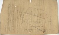
Plat of 89 acres in the Beaufort District. Plat shows the location of several ponds. Little other detail is included. Names associated with this plat are N.H. Johnson, R.J. Marker, Mary Kittles, John H. Raddell [?], and Brown. Notable geographic locations include the Savannah River, Beaufort District and Dry Gull Branch.
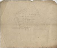
Plat of a tract of land. Very general with little information. Includes a street and placement of an Episcopal church. Names associated with this plat include D. La Roche, W.H. Gray, Steven Jenkins, and J.K. Goudin. Notable geographic locations include Wadmalaw.
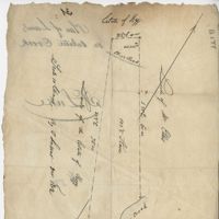
Plat of 101.5 acres on Ocketee [Oakatie] Creek. Plat shows the location of a marsh, road and surrounding lands. Names associated with this plat are N.H. Johnson, Ellis and Hogg. Notable geographic locations include the Savannah River, Oakatie Creek and Ellis Road.