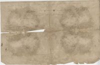
Plat of 89 acres in the Beaufort District. Plat shows the location of several ponds. Little other detail is included. Names associated with this plat are N.H. Johnson, R.J. Marker, Mary Kittles, John H. Raddell [?], and Brown. Notable geographic locations include the Savannah River, Beaufort District and Dry Gull Branch.
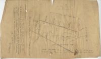
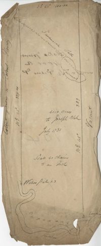
Plat consists of 4,000 acres in St. Peter’s Parish belongs to Joseph Blake granted July 1731. Names associated with this plat are Joseph Blake, Horrey and Stevens. Notable locations include St. Peter's Parish, Savannah River and Savannah Path.
General Cutherbert's land on Big Pipe Creek. Names associated with this plat are General Cuthbert, B.H. Roberts, Ball, Peters and David DeSapah [?]. Notable geographic locations include the Savannah River.
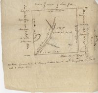
Plat of 500 acres off of the Savannah River granted to James Sutherland in 1737. Detail includes a creek of the southern branch of the Savannah River and various trees on the property lines. Names associated with this plat are James Sutherland, Patrick McKay, and James Stobo. Notable geographic locations include St. Peters Parish, Savannah Lands, and the South Branch of a creek of the Savannah River.
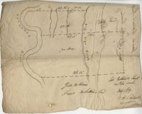
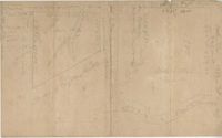
Two plats of lands along the Savannah River belonging to Stobo and Bullock. Names associated with this plat are Archibald Stobo, James Stobo, James Bullock, W. Hugh Bryan, Clawton [?], Cranford, J. Southerland, and Patrick Mikas. Notable geographic locations include the Savannah River, St. Peter's Parish and Purrysburgh Township.
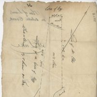
Plat of 101.5 acres on Ocketee [Oakatie] Creek. Plat shows the location of a marsh, road and surrounding lands. Names associated with this plat are N.H. Johnson, Ellis and Hogg. Notable geographic locations include the Savannah River, Oakatie Creek and Ellis Road.