Search
« Previous |
21 - 30 of 77
|
Next »
Search Results
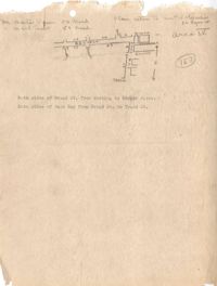
- Date:
- 1945
- Description:
- Map of Area 4 bounded by Broad Street, East Bay Street, and Tradd Street assigned to Mr. Martin Powers and Maier Triest.
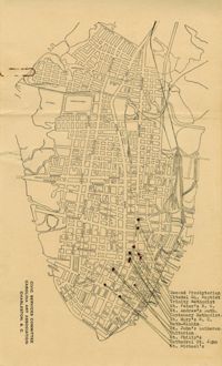
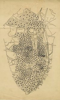
- Description:
- Map of the Charleston peninsula showing churches in congested areas.
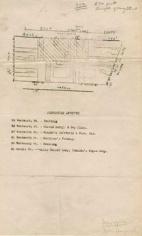
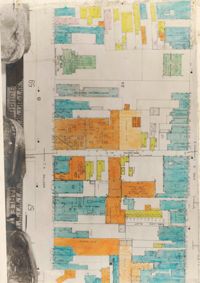
- Description:
- Map of area bounded by Wentworth, Meeting, and Hasell Street.
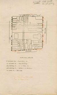
- Description:
- Map of area bounded by Horlbeck Alley, Meeting, and Queen Street.
- Description:
- Map of peninsula.
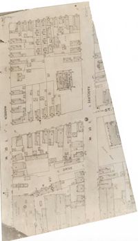
- Description:
- Map (not color-coded) of area between Radcliffe Street and Warren Street at St. Patrick's Catholic School.
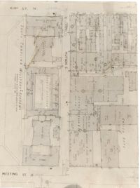
- Description:
- Map (not color-coded) of area between King Street and Meeting Street at Hutson Street (SC Military Academy).
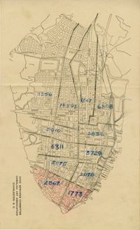
- Description:
- Map of peninsula.
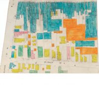
- Description:
- Color-coded map of area between Meeting Street and King Street, bisected by Horlbeck Alley..
- Description:
- Color-coded map of area around St. Philip Street at Calhoun Street near the Charleston Orphan House.