A ready reference to the most important points of historic interest in and around Charleston. Published by The Tourist and Convention Bureau, Charleston Chamber of Commerce, 50 Broad Street. 19 p., 16 cm.
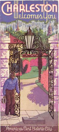
Souvenir booklet for guests of the Charleston Hotel, produced after the hotel's renovation and when it was under the new management of Francis G. Cart and W. Irving Davids. Includes a description of the hotel and its remodeling, along with a brief history of Charleston and photographs of points of interest. [16] p., ill., 11x15 cm. (Note: The Charleston Hotel was located on the 200 block of the east side of Meeting Street. It was demolished in 1960.)
Describes various features of Charleston and the vicinity including art and literature; climate; hunting and fishing; yachting; beaches; transportation; highways; golf; farming; manufacturing; educational; colleges and preparatory schools; societies, clubs, associations; hotels, apartments and dwellings, port facilities; theaters; navy yard; military; U.S. Lighthouse Department; U.S. Engineers Corps; churches; conventions; populations; water supply; banks; living conditions; streets; business; information; U.S. Scouting Fleet; parks and playgrounds; harbor forts; street cars; sight-seeing busses; boats. Also describes various points of interest. "Donated by the City to the Publicity, Tourist & Convention Bureau, Chamber of Commerce, Charleston, South Carolina." 12 p. ; 53 x 16 cm. folded to 9 x 16 cm.
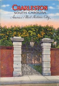
Souvenir booklet and guide to Charleston, featuring a brief overview of the city, chronology of historic events, and descriptions of various points of interest. Includes color illustrations of houses, public buildings, houses of worship, and other sites. "Made in U.S.A. by E.C. Kropp Co., Milwaukee, Wis." (Booklet published ca. 1948 but illustrations appear to be reprints of E.C. Kropp Co. early-20th century postcards.) [30] p. : ill. ; 17 cm.
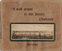
Guide for a walking tour of Charleston, containing a brief history of Charleston; descriptions of each location on the tour; and photographs of notable buildings. Published by Lanneau's Art Store (Charleston, S.C.). [6] p., [24] leaves : ill. ; 27 x 32 cm.
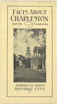
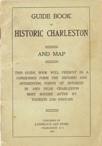
Presents "in a condensed form the historic and interesting points of interest in and near Charleston most sought after by tourists and visitors." Includes "interesting facts about the first churches and congregations; old historic buildings, halls and colleges; historical houses; relics of the old days; queer streets, alleys and lanes; parks, squares, cemeteries." Map of the peninsula includes "a sketch of the resorts and historical points in and around Charleston." Cover title: Guide Book of Historic Charleston and Map. Published by Lanneau's Art Store (Charleston, S.C.). 24 p., 16 cm. + 1 map, 40 x 50 cm. folded to 10 x 14 cm. (Note: paging begins at page 3.)
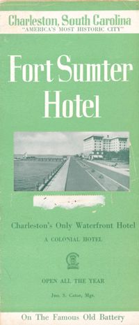
Brochure for the Fort Sumter Hotel [1 King Street]. Includes description and floor plan of the hotel, information about Charleston, and photographs of points of interest. Also includes map showing travel routes to Charleston from Jacksonville, Florida, to New York, New York. "A Colonial Hotel. Jno. S. Cator, Mgr." One sheet : ill., map ; 23 x 41 cm., folded to 23 x 10 cm.
Guidebook to Charleston, containing a history of Charleston; descriptions of many points of interest; street guide; and map featuring ward boundaries and points of interest. Advertisements interspersed throughout. Published by Walker, Evans & Cogswell. 95 p. : ill., fold. map ; 20 cm.
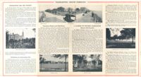
Descriptions of some points of historic interest in and around Charleston, with suggestions on what to see and how to see it. Illustrated with photographs. Published by Walker, Evans & Cogswell. [5] p. derived from two folded sheets (1st sheet 23 x 41 cm. folded to 10 x 23 cm.; 2nd sheet 23 x 81 cm. folded to 23 x 10 cm.).
Travel brochure. Includes brief description of Charleston history, points of interest, hotels, and recreational activities, and a map featuring travel routes to Charleston between Jacksonville, Florida to New York, New York. Designed by Advertising Service Agency and printed by J.J. Furlong & Sons, Charleston, SC. Two sheets : ill., map ; 23 x 41 cm., folded (quartered) to 23 x 10 cm.